


Study Design and Objectives
The technical monitoring program was established to monitor potential long-term changes in the aquatic environment far-downstream of uranium mining and milling operations in the Eastern Athabasca region. The technical program collects water, sediment, fish (flesh and bone), and benthic invertebrates for analysis. The goals of the technical program are as follows:
To establish long-term monitoring stations at far-field exposure and reference locations.
To monitor for temporal changes in water quality, sediment quality, benthic invertebrate community, and fish chemistry over the long-term.
To communicate monitoring results to stakeholders, through public media and stakeholder meetings.
Water, sediment, and fish tissue chemistry were selected to monitor for potential changes in Constituents of Potential Concern (COPCs), such as arsenic, lead, and selenium (more on COPCs below). Benthic invertebrate communities were assessed as an indicator of the condition of fish habitat (EC 2012).


Study Areas
The EARMP technical program established four far-field exposure areas and three reference areas. The far-field exposure locations are the two outlets of Wollaston Lake (Cochrane River and the Fond du Lac River), the outlet of Waterbury Lake, and Crackingstone Inlet (historically exposed) of Lake Athabasca.
The far-field exposure locations are situated in depositional areas further afield from the uranium operations because extensive monitoring is already completed by each mine and/or mill site in their respective local study areas. In addition, the far-field exposure areas are positioned where watersheds downstream of uranium sites overlap.
Reference areas utilized for the program are not influenced by any current or historic upstream uranium mining and/or milling activities. Their purpose is to characterize natural background variability. Understanding spatial and temporal variability of the natural background provides important context within which to consider the variations observed at the far-field exposure locations.
Far-field Exposure Areas

Wollaston Lake and the Cochrane River
Wollaston Lake is a distinctive lake in that it has two drainage systems. The primary outlet of Wollaston Lake is the Cochrane River, which flows out the northeast end of the lake and into Reindeer Lake, before draining into the Churchill River system and out to Hudson Bay. It is located downstream of treated effluent release from the McClean Lake, Rabbit Lake, and Key Lake operations; therefore, it is a far-field exposure area.
Wollaston Lake and the Fond du Lac River
Wollaston Lake’s secondary outlet flows into the Fond du Lac River at Cunning Bay. The Fond du Lac River then flows northwest and eventually discharges into Lake Athabasca, which in turn drains into the Slave River, and ultimately into the Mackenzie River. The outlet of Cunning Bay is a far-field exposure area because it is located downstream of treated effluent release from the McClean Lake, Rabbit Lake, and Key Lake operations.


Waterbury Lake and the Waterfound River
The outlet of Waterbury Lake is located at the northwest end of Waterbury Lake approximately 25 km downstream from the Cigar Lake Operation. This location is also far-field downstream of the McArthur River Operation, which is located 75 km upstream of Waterbury Lake. Waterbury Lake then drains northeast through Theriau (Unknown) Lake, Durrant Lake, and the Waterfound River to join the Fond du Lac River at Waterfound Bay.
Lake Athabasca and the Crackingstone River
The Crackingstone Inlet of Lake Athabasca is historically exposed due to the following flow path:
Beaverlodge Lake is the receiving environment for water exiting the Beaverlodge decommissioned site, as well as at least nine other abandoned uranium mines and the Lorado mill tailings.
Martin Lake is immediately downstream of Beaverlodge Lake and there are a number of small sites without tailings located downstream of Martin Lake.
Water from Martin Lake drains northwest into Cinch Lake and continues west into the Crackingstone River, which flows southwest into Crackingstone Inlet of Lake Athabasca.

Reference Areas
Three reference areas were established specifically for the EARMP technical program (see above map):
Cree Lake
Pasfield Lake
Ellis Bay of Lake Athabasca
What is sampled?
Water and sediment quality data provide supporting information for the benthic invertebrate and fish components of the EARMP technical program. Furthermore, they provide an indication of the suitability of a waterbody to support aquatic life.
Benthic invertebrate’s community data provide an indication of the condition of fish habitat and, due to the relatively short life span of benthic invertebrates, can provide an early warning of potential effects on fish communities or populations (EC 2012).
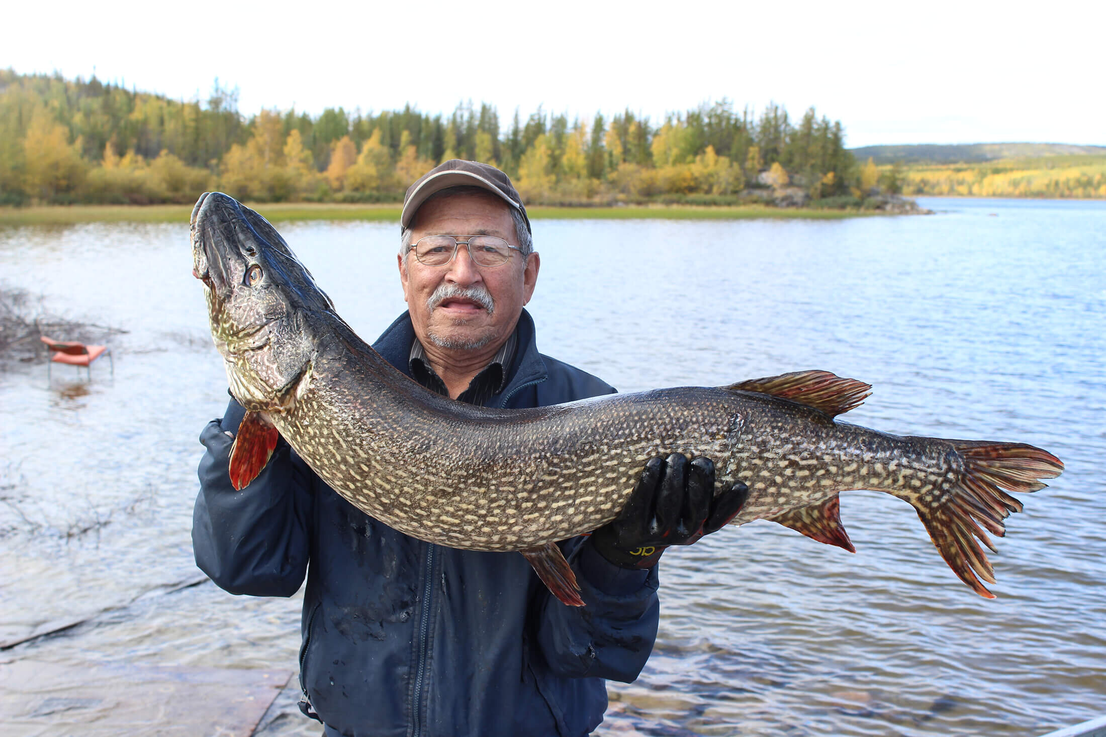
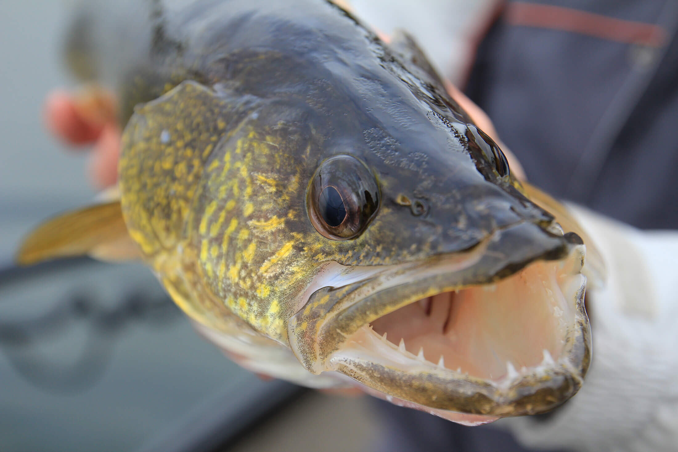
Fish chemistry data provide a means of monitoring the potential accumulation of COPCs identified in the water and/or sediment quality components of the technical program as well as potential accumulation through the food chain. The technical program targets both predatory and bottom-feeding fish species for the chemical analysis of flesh and bone tissue. Both flesh and bone are assessed since different constituents may accumulate in different tissues at different rates.

Sampling Frequency

The EARMP technical program was established with an initial two-year baseline assessment (2011 and 2012) followed by a monitoring phase in 2015. The intent was to continue monitoring every five years; however, the program has remained paused at this time.
Chemical Endpoints for Fish, Sediment, and Water
A full suite of parameters is assessed for each chemistry sample; however, the focus is on the Constituents of Potential Concern (COPCs):
| Aluminum | Organic Carbon * |
| Ammonia* | pH* |
| Arsenic | Polonium-210 |
| Cadmium | Radium-226 |
| Cobalt | Selenium |
| Copper | Specific Conductivity* |
| Iron | Total Hardness |
| Lead | Thorium-230 |
| Lead-210 | Uranium |
| Mercury** | Vanadium |
| Molybdenum | Zinc |
| Nickel |
**Mercury is not associated with the uranium mining and milling process.

Comparison Criteria

To evaluate the data, endpoints are compared to:
Temporally to previous monitoring years
To available guidelines
Federal, provincial, and literature-based guidelines are available for some COPCs in water, sediment, and fish tissue. Although multiple guidelines may be available for a given COPC, the data assessment focuses on the most locally relevant guideline available. Details on available guidelines can be found in the latest technical report (link).
The reference range
The reference range is defined as the normal range of variability in the reference areas (i.e., the 95% confidence interval or the 2.5th and 97.5th percentile of the reference area fitted distribution).
Available literature (in cases where no guidelines are available and endpoints were outside the reference range)
Reporting and Communication
Following each monitoring phase, a report is completed. The report, along with the raw data, is available for the public to download from Reports. In addition, News and Events, such as community events, are updated as they happen. Questions and comments are welcomed (Contact Us ).
In addition to the report, the results of the monitoring program are presented to the Eastern Athabasca communities at the Northern Saskatchewan Environmental Quality Committee (NSEQC) meeting in La Ronge, SK annually. The NSEQC is composed of trusted and knowledgeable people nominated by his or her community. They provide a bridge between northerners, governments, and the uranium mining industry. The NSEQC is not vested with regulatory responsibilities, but rather is structured to provide a forum that will ensure consideration of the concerns from northern communities. The NSEQC meetings provide an opportunity to receive feedback on the EARMP program from community members.

Environment Canada (EC). 2012. Metal mining technical guidance for environmental effects monitoring. Environment Canada, National Environmental Effects Monitoring Office, Science Policy and Environmental Quality Branch, Ottawa, Ontario.
Canada North Environmental Services (CanNorth). 2014. Eastern Athabasca Regional Monitoring Program 2012 Technical Report. Prepared for Government of Saskatchewan Regina, Saskatchewan.
Canadian Standards Association (CSA). 2010. Environmental Monitoring Programs at Class 1 Nuclear Facilities and Uranium Mines and Mills. CSA N288.4-10.